Map
Please note: Locations and addresses are approximate and may not be as accurate as expected.
Planning
Application reference: N/A
Planning status: No Application
Planning authority: East Hertfordshire Council
Application details:
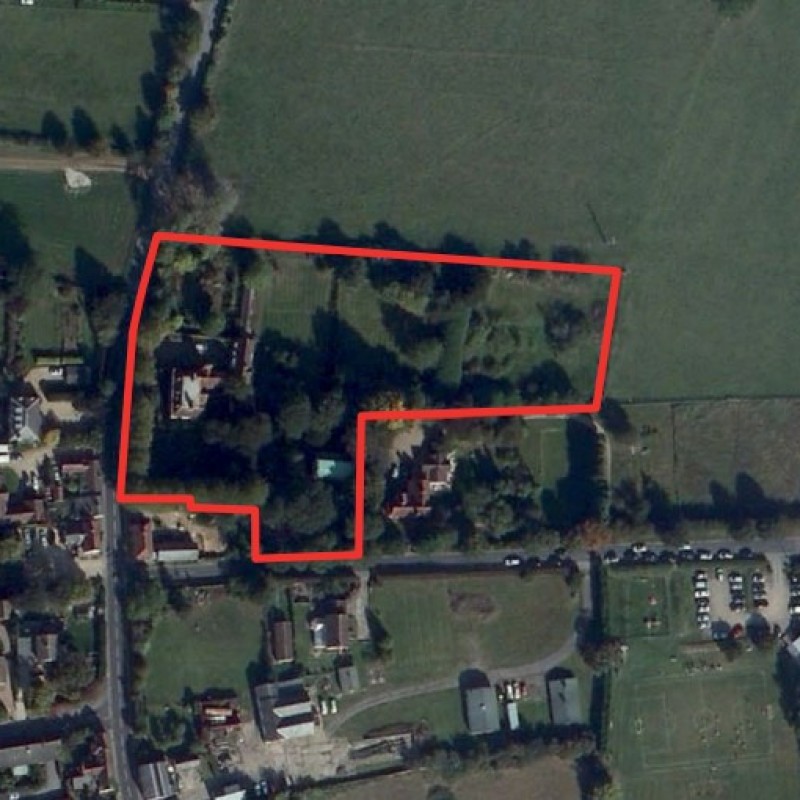
On the eastern side of the property is an area of land of approximately 0.8 acres with potential for residential development.
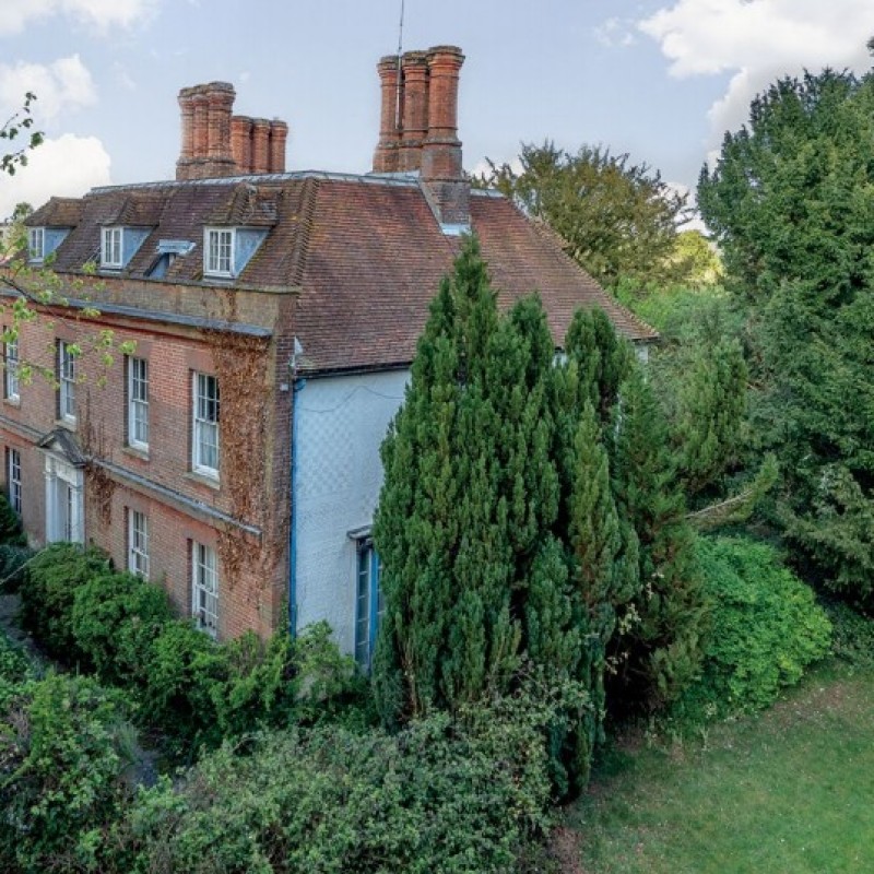
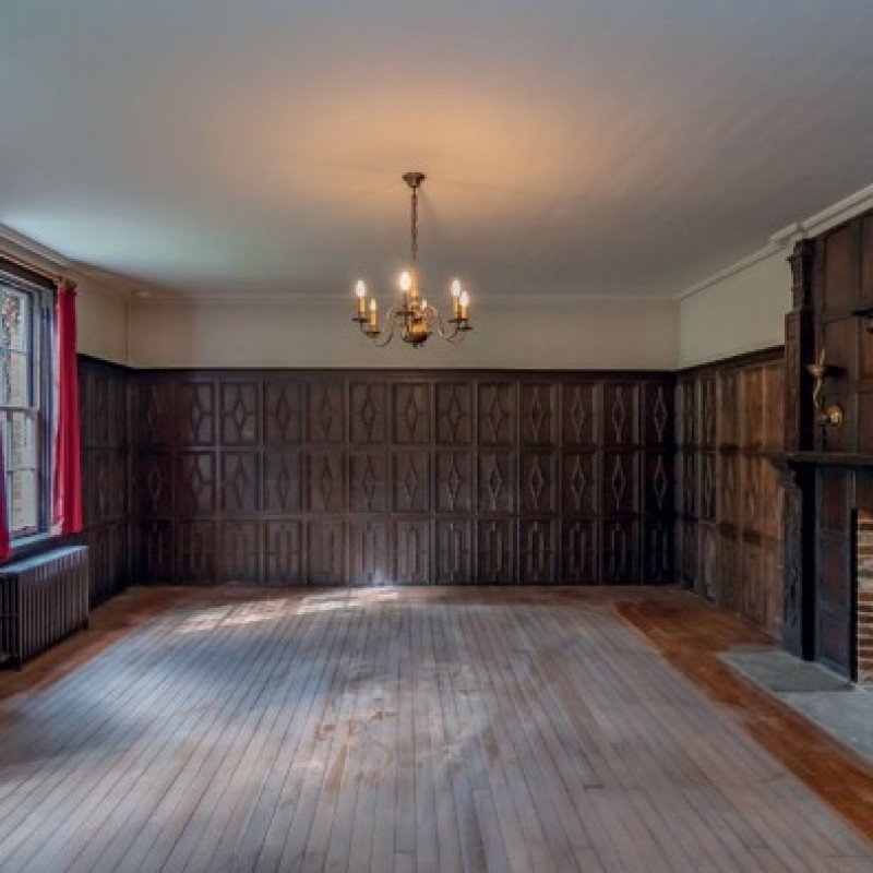
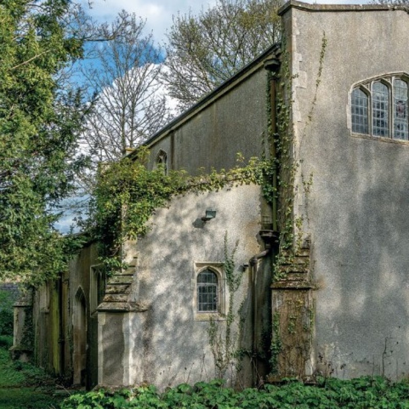
A request for Pre-Application advice regarding Hare Street House and land to the east was submitted to East Herts Council in June 2017. Proposals were presented to East Herts Council concerning a) restoration and future use of Hare Street House, b) the conversion of the Brewhouse to an ancillary element of the main house, c) works to restore the sunken garden adjacent to the main house. These works were considered to meet the tests of ‘enabling development’ and the provision of up to six new four-bedroom two storey dwellings on the eastern part of the site was proposed as a means to fund the enabling development. The conversion of the chapel to a separate dwelling was also presented to the council.
The agent advises that the response from East Herts Council was generally supportive of an enabling scheme in principle and the conversion of the chapel was considered acceptable for development independently of any enabling scheme. Please note this was issued by East Herts Council prior to adoption of the local plan.
LandHawk is a comprehensive database of recent and historical planning applications. Designed to deliver powerful, detailed search with greater accuracy and control.
Get instant insight into the status of any area within the country, with a reliable data source that combines 99% of all available planning application data across UK local authorities.
We have exclusively partnered up with LandHawk so you can immediately understand the planning situation of the empty property or site you are looking at. When you sign up and contacted by LandHawk, please say you singed up via LandAttic and you will immediately receive an extended 60 day free trial!
Ownership
LandHawk hosts, manages and displays a digitised version of every land parcel in the UK, as produced by His Majesty's Land Registry (HMLR) and, in the case of Scotland, Registers of Scotland using the INSPIRE data. Each land parcel contains the land registry title deed number and, in the cases of commercial and overseas ownership, directly accessible information for the ownership of that land parcel.
We have exclusively partnered up with LandHawk so you can immediately investigate the ownership of an empty property or derelict site you are looking at. When you sign up and contacted by LandHawk, please say you singed up via LandAttic and you will immediately receive an extended 60 day free trial!


