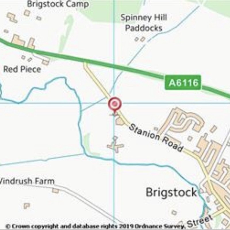
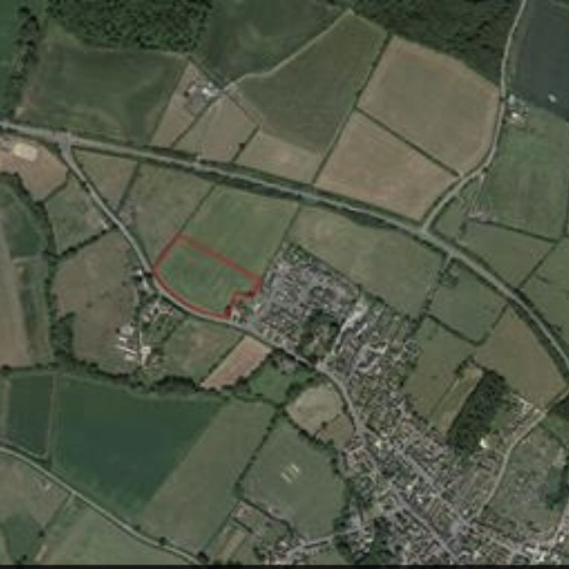
Map
Please note: Locations and addresses are approximate and may not be as accurate as expected.
Planning
Planning authority: Kettering Borough Council
Application details:
The Referendum for the Brigstock Neighbourhood Development Plan 2011-2031 was held on 6th December 2018. The Referendum Version of the Plan received overwhelming support and will be ‘made’ by Kettering Borough Council in January 2019.
Policy B3 of the Neighbourhood Plan stipulates the following criteria for any development of the site:-
A. The development shall provide for a minimum of 25 dwellings;
B. The layout and design of the site should incorporate the construction of two-storey houses along the frontage to the site, set back at least 14 m from Stanion Road. Bungalows should be located along the eastern boundary of the site.
a) at least 40% of dwellings shall be affordable;
b) at least 40% of dwellings on the site shall be bungalows, or otherwise designed to meet the housing needs of elderly people;
C. A single road access to the site off Stanion Road should be located close to the existing built-up edge of the village to ensure that speeds are naturally constrained;
D. A landscaping scheme should be implemented to provide for an improvement in biodiversity and include:-
a) theretentionandenhancement,orreplacement,of the hedgerow along the southern boundary of the site;
b) planting along the northern boundary of the site to provide a soft, landscaped edge to the northern entrance to Brigstock;
c) land to the north of the site and within the Landscape Buffer Zone to be used for informal recreation with public access;
d) a Local Area for Play;
E. The residential amenities of 40 Stanion Road and the properties on the west side of Bells Close should be protected; and
F. The development should incorporate an appropriately designed, constructed and maintained sustainable drainage system.
LandHawk is a comprehensive database of recent and historical planning applications. Designed to deliver powerful, detailed search with greater accuracy and control.
Get instant insight into the status of any area within the country, with a reliable data source that combines 99% of all available planning application data across UK local authorities.
We have exclusively partnered up with LandHawk so you can immediately understand the planning situation of the empty property or site you are looking at. When you sign up and contacted by LandHawk, please say you singed up via LandAttic and you will immediately receive an extended 60 day free trial!
Ownership
LandHawk hosts, manages and displays a digitised version of every land parcel in the UK, as produced by His Majesty's Land Registry (HMLR) and, in the case of Scotland, Registers of Scotland using the INSPIRE data. Each land parcel contains the land registry title deed number and, in the cases of commercial and overseas ownership, directly accessible information for the ownership of that land parcel.
We have exclusively partnered up with LandHawk so you can immediately investigate the ownership of an empty property or derelict site you are looking at. When you sign up and contacted by LandHawk, please say you singed up via LandAttic and you will immediately receive an extended 60 day free trial!


